Mapping software works to inform businesses and organizations to make educated business decisions. The software will integrate the company’s information with geolocation, combining complicated CRM, datasets, and location-specific details into readable content. A company’s data visualization tools can incorporate new strategies, notice vital trends, and identify more from the information than simple spreadsheets alone.
Data visualization can improve multiple areas of your business, from new market integration to improved sales team productivity. Companies can reduce travel costs with optimized routes while assessing delivery areas and boundaries simultaneously. Finally, businesses can use online mapping software to calculate underserved sales territories and adjust targets accordingly.
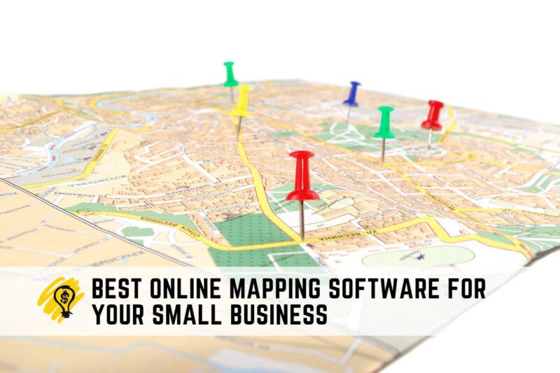
Top Performing Mapping Software for Small Businesses
Maptive
This mapping application works to connect businesses with consumer information through multiple methods. The software is entirely cloud-based, allowing users instant online access from anywhere worldwide. Users can access extensive mapping options, which work with businesses of all sizes. With drag-and-drop functionality, individuals can effortlessly add new consumers or clients to the map from the dashboard.
Mapping functions include boundary map development, demographic mapping, heat maps, and radius tools. Users can assess their current business development with defined tools, Google Map integration, location-specific notes, and defined boundaries. Finally, Maptive allows complete map customization. Users can add arrows, labels, and icons throughout the map, drawing attention to specific areas.
Related: Best Meeting Minutes Software Solutions for Your Company
Mapline
This web-based mapping platform helps companies and organizations develop spatial data. The software allows businesses to convey demographics and business information within the map using custom pins, dot density, and labels. Users can copy and paste data into the program, developing maps effortlessly. From there, users can identify market risks and growth opportunities.
Mapline offers many built-in options, including territory monitoring, filters, and heat maps. The cloud-based application works on a monthly subscription, preventing data loss overall. As a result, users can incorporate visual analysis of data within minutes.
Esri ArcGIS
This comprehensive mapping program combines user data with location intelligence. The software aims to bring complete solutions to the organization through local machines, on-premise servers, and remote applications. Users will receive the software and a collection of automatic data and content to enrich the user experience. Registered individuals can collaborate remotely online or directly from the application.
Esri ArcGIS is a cloud-based program that offers tools for visualizing and sharing spatial data. Users can access the platform from any device, including mobile applications.
Conclusion
When integrating mapping software, opt for a program that enhances your organization’s functionality. Plenty of mapping programs are available, making selecting your software imperative to your success. Always choose a program that offers seamless integration, preferably with popular mapping applications. Likewise, heat mapping tools will provide insight into company sales density, including underperforming areas.
Route optimization tools can increase the sales function within your business, including efficiency and real-time driving distances. If required, every sales representative will access user details, offering an automated address list. Finally, look for software that includes demographic data and census details to add depth to your consumer. Demographics include transportation, age, income, gender, and more.